04/07/2025
02/07/2025
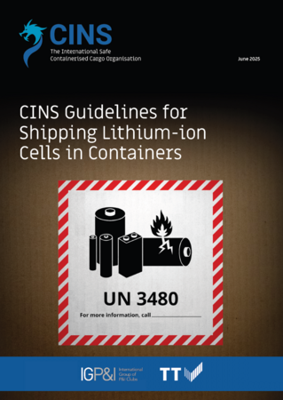
This document provides shipping companies, operators and carriers with safety standard guidance for the transportation of lithium-ion cells, classified under UN Nos. 3480 and 3481, in Cargo Transport Units (CTUs). It focuses on the specific risks associated with shipping lithium-ion cells, which differ from lithium-ion batteries due to differences in structure and configuration. As components of batteries, lithium-ion cells present a higher risk during transportation than new, non-waste lithium-ion batteries.
01/07/2025
Workers in ports, terminals and warehouses need to maintain a high degree of concentration to cope with the complex physical hazards of operating in a busy cargo-handling environment. But simply not drinking enough water can impair their mental abilities in a similar way as consuming alcohol, which may lead to accidents and injuries. Transport and logistics operators need to take the same zero-tolerance approach to worker dehydration as they do for consuming alcohol.
Autonomous ships are set to have a major impact on the world’s ports. But while they promise increased efficiency, and safety, and a nice fit with port automation technologies and smart mooring systems, they also raise questions about regulation, liability and cyber security. Port operators need to be prepared to adapt to survive – and perhaps the best place to start is with their own fleet of work boats.
Listen here Loading docks in warehouses and terminals...
26/06/2025
TT Club, the leading mutual insurer in the global transport and logistics industry, has appointed two new non-executive Members to its Board. TT Club has strengthened its Board considerably with the appointment of...
12/06/2025
Highlights for the year ended 31 December 2024
Annual report and financial statements for the year ended 31 December 2024
The industry bodies of the Cargo Integrity Group expand on their concerns relating to cargoes that can catch fire and cause significant damage and casualties under certain conditions. Circumstances created by...
Displaying results 1 to 11 out of 1301